
Ward 12 topographic map
Interactive map
Click on the map to display elevation.
About this map
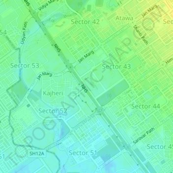
Name: Ward 12 topographic map, elevation, terrain.
Average elevation: 326 m
Minimum elevation: 318 m
Maximum elevation: 337 m
Other topographic maps
Click on a map to view its topography, its elevation and its terrain.
Park Sector 18D
Park Sector 18D, Ward 17, Chandigarh, 160018, India
Average elevation: 346 m