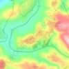
Alon Shvut topographic map
Click on the map to display elevation.
Alon Shvut
Alon Shvut is located on the site of the Battle of Beth Zechariah, fought between the Maccabees and the Seleucid army after the defeat of the Seleucids in Jerusalem. The ancient town of Beit Zakariah, in northern Judea, is identified with the ruins of Khirbet Zechariah, less than a kilometer north of Alon Shvut. It was considered the nearest area to Jerusalem whose topography could be exploited by the Maccabees to block the northward advance of the Seleucid army, after the Maccabee defeat in the Battle of Beth Zur.
About this map
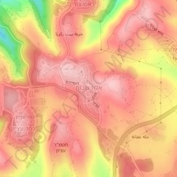
Name: Alon Shvut topographic map, elevation, terrain.
Location: Alon Shvut, Area C, Judea and Samaria, Palestinian Territories (31.65007 35.12171 31.65938 35.12914)
Average elevation: 921 m
Minimum elevation: 791 m
Maximum elevation: 971 m
Other topographic maps
Click on a map to view its topography, its elevation and its terrain.


Shomron Regional Council
Palestinian Territories > Judea and Samaria > Area C
Average elevation: 278 m


Qumran National Park
Palestinian Territories > Judea and Samaria > Area C > Megilot Yam HaMelakh Regional Council
Average elevation: -274 m



Homesh
Palestinian Territories > Judea and Samaria > Area C > Shomron Regional Council
Average elevation: 452 m

Megilot Yam HaMelakh Regional Council
Palestinian Territories > Judea and Samaria > Area C
Average elevation: 157 m


Mehora
Palestinian Territories > Judea and Samaria > Area C > Arvot Hayarden Regional Council
Average elevation: 200 m


Az Za'ayyem Bedouins
Palestinian Territories > Judea and Samaria > Area C > 'Anata
Average elevation: 603 m