
Saives topographic map
Interactive map
Click on the map to display elevation.
About this map
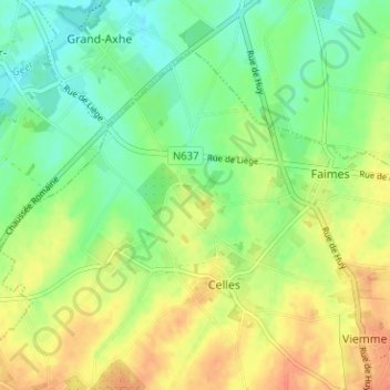
Name: Saives topographic map, elevation, terrain.
Location: Saives, Faimes, Borgworm, Luik, Wallonië, 4317, België (50.64303 5.22091 50.68303 5.26091)
Average elevation: 137 m
Minimum elevation: 117 m
Maximum elevation: 160 m