
Thank you for supporting this site ❤️
Make a donation
Make a donation
Parera topographic map
Click on the map to display elevation.
Thank you for supporting this site ❤️
Make a donation
Make a donation
About this map
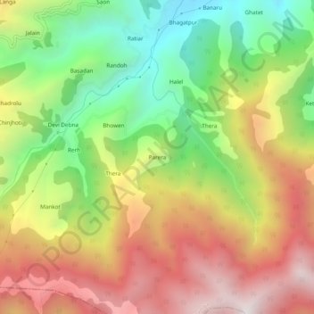
Name: Parera topographic map, elevation, terrain.
Location: Parera, Chamba, Himachal Pradesh, India (32.48319 76.06857 32.52319 76.10857)
Average elevation: 1,983 m
Minimum elevation: 1,311 m
Maximum elevation: 2,699 m
Thank you for supporting this site ❤️
Make a donation
Make a donation