
Thank you for supporting this site ❤️
Make a donation
Make a donation
Senamat topographic map
Click on the map to display elevation.
Thank you for supporting this site ❤️
Make a donation
Make a donation
About this map
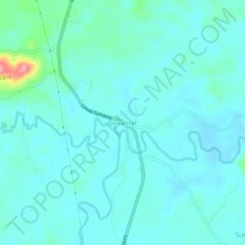
Name: Senamat topographic map, elevation, terrain.
Location: Senamat, Bungo, Jambi, Sumatra, Indonesia (-1.65923 102.11578 -1.61923 102.15578)
Average elevation: 64 m
Minimum elevation: 45 m
Maximum elevation: 178 m
Thank you for supporting this site ❤️
Make a donation
Make a donation