
Le Petit Donon topographic map
Interactive map
Click on the map to display elevation.
About this map
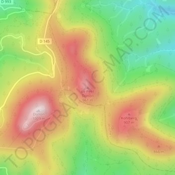
Name: Le Petit Donon topographic map, elevation, terrain.
Average elevation: 734 m
Minimum elevation: 480 m
Maximum elevation: 990 m
Other topographic maps
Click on a map to view its topography, its elevation and its terrain.
Basse la Kesse
France > Grand Est > Bas-Rhin > Wisches
Basse la Kesse, Wisches, Molsheim, Bas-Rhin, Grand Est, France métropolitaine, 67130, France
Average elevation: 562 m