
Thank you for supporting this site ❤️
Make a donation
Make a donation
Riverton topographic map
Click on the map to display elevation.
Thank you for supporting this site ❤️
Make a donation
Make a donation
About this map
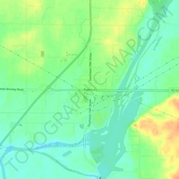
Name: Riverton topographic map, elevation, terrain.
Location: Riverton, Cherokee County, Kansas, 66770, United States (37.05506 -94.72467 37.09506 -94.68467)
Average elevation: 254 m
Minimum elevation: 239 m
Maximum elevation: 276 m
Thank you for supporting this site ❤️
Make a donation
Make a donation