
Thank you for supporting this site ❤️
Make a donation
Make a donation
Fernwood topographic map
Click on the map to display elevation.
Thank you for supporting this site ❤️
Make a donation
Make a donation
About this map
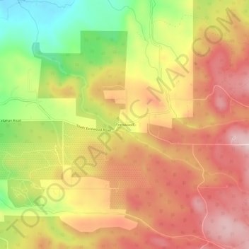
Name: Fernwood topographic map, elevation, terrain.
Location: Fernwood, Clackamas County, Oregon, United States (45.10457 -122.49120 45.14457 -122.45120)
Average elevation: 317 m
Minimum elevation: 153 m
Maximum elevation: 435 m
Thank you for supporting this site ❤️
Make a donation
Make a donation