
Thank you for supporting this site ❤️
Make a donation
Make a donation
El Barriu Azul topographic map
Click on the map to display elevation.
Thank you for supporting this site ❤️
Make a donation
Make a donation
About this map
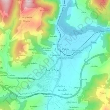
Name: El Barriu Azul topographic map, elevation, terrain.
Location: El Barriu Azul, Grado, Asturias, 33820, España (43.37437 -6.08857 43.41437 -6.04857)
Average elevation: 149 m
Minimum elevation: 30 m
Maximum elevation: 432 m
Thank you for supporting this site ❤️
Make a donation
Make a donation
Other topographic maps
Click on a map to view its topography, its elevation and its terrain.