
Thank you for supporting this site ❤️
Make a donation
Make a donation
Peñas topographic map
Click on the map to display elevation.
Thank you for supporting this site ❤️
Make a donation
Make a donation
About this map
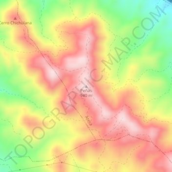
Name: Peñas topographic map, elevation, terrain.
Location: Peñas, Ateca, Comunidad de Calatayud, Zaragoza, Aragón, España (41.29929 -1.78560 41.29939 -1.78550)
Average elevation: 787 m
Minimum elevation: 593 m
Maximum elevation: 931 m
Thank you for supporting this site ❤️
Make a donation
Make a donation