
Thank you for supporting this site ❤️
Make a donation
Make a donation
Nalongo topographic map
Click on the map to display elevation.
Thank you for supporting this site ❤️
Make a donation
Make a donation
About this map
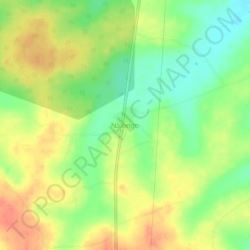
Name: Nalongo topographic map, elevation, terrain.
Location: Nalongo, Luweero, Central Region, Uganda (0.93501 32.45217 0.97501 32.49217)
Average elevation: 1,085 m
Minimum elevation: 1,060 m
Maximum elevation: 1,107 m
Thank you for supporting this site ❤️
Make a donation
Make a donation