
Thank you for supporting this site ❤️
Make a donation
Make a donation
Fort Augustus topographic map
Click on the map to display elevation.
Thank you for supporting this site ❤️
Make a donation
Make a donation
About this map
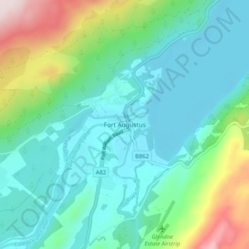
Name: Fort Augustus topographic map, elevation, terrain.
Location: Fort Augustus, Highland, Écosse, PH32 4AY, Royaume-Uni (57.12433 -4.70149 57.16433 -4.66149)
Average elevation: 115 m
Minimum elevation: 11 m
Maximum elevation: 456 m
Thank you for supporting this site ❤️
Make a donation
Make a donation