
Thank you for supporting this site ❤️
Make a donation
Make a donation
Gal-Libaax topographic map
Click on the map to display elevation.
Thank you for supporting this site ❤️
Make a donation
Make a donation
About this map
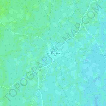
Name: Gal-Libaax topographic map, elevation, terrain.
Location: Gal-Libaax, El Dher District, Galgaduud, Galmudug, Somalia (3.92514 46.55207 3.96514 46.59207)
Average elevation: 119 m
Minimum elevation: 116 m
Maximum elevation: 123 m
Thank you for supporting this site ❤️
Make a donation
Make a donation