
Thank you for supporting this site ❤️
Make a donation
Make a donation
Forest topographic map
Click on the map to display elevation.
Thank you for supporting this site ❤️
Make a donation
Make a donation
About this map
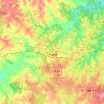
Name: Forest topographic map, elevation, terrain.
Location: Forest, Bedford County, Virginia, 24551, United States (37.31706 -79.34234 37.41619 -79.23274)
Average elevation: 256 m
Minimum elevation: 196 m
Maximum elevation: 320 m
Thank you for supporting this site ❤️
Make a donation
Make a donation