
Thank you for supporting this site ❤️
Make a donation
Make a donation
Little Ohoopee River topographic map
Click on the map to display elevation.
Thank you for supporting this site ❤️
Make a donation
Make a donation
About this map
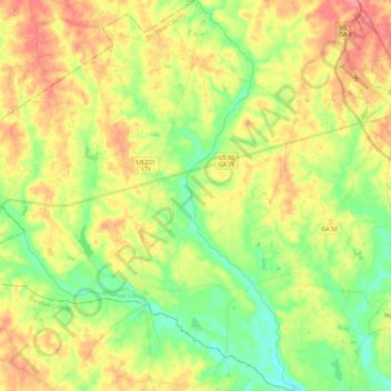
Name: Little Ohoopee River topographic map, elevation, terrain.
Location: Little Ohoopee River, Emanuel County, Georgia, United States (32.45344 -82.46882 32.64730 -82.40514)
Average elevation: 78 m
Minimum elevation: 44 m
Maximum elevation: 118 m
Thank you for supporting this site ❤️
Make a donation
Make a donation
Other topographic maps
Click on a map to view its topography, its elevation and its terrain.
Thank you for supporting this site ❤️
Make a donation
Make a donation
Thank you for supporting this site ❤️
Make a donation
Make a donation