
Thank you for supporting this site ❤️
Make a donation
Make a donation
Sugar Tree Ridge topographic map
Click on the map to display elevation.
Thank you for supporting this site ❤️
Make a donation
Make a donation
About this map
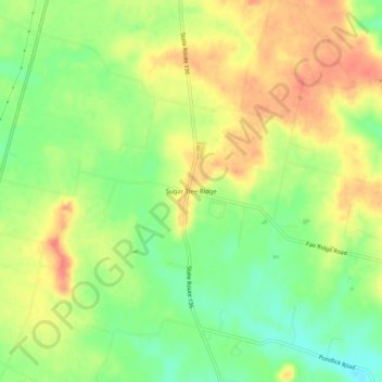
Name: Sugar Tree Ridge topographic map, elevation, terrain.
Location: Sugar Tree Ridge, Highland County, Ohio, United States (39.05034 -83.68187 39.09034 -83.64187)
Average elevation: 324 m
Minimum elevation: 295 m
Maximum elevation: 351 m
Thank you for supporting this site ❤️
Make a donation
Make a donation
Other topographic maps
Click on a map to view its topography, its elevation and its terrain.