
Thank you for supporting this site ❤️
Make a donation
Make a donation
Aurelius Township topographic map
Click on the map to display elevation.
Thank you for supporting this site ❤️
Make a donation
Make a donation
About this map
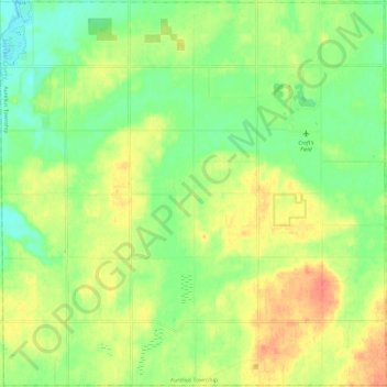
Name: Aurelius Township topographic map, elevation, terrain.
Location: Aurelius Township, Ingham County, Michigan, United States (42.50941 -84.60242 42.59681 -84.48289)
Average elevation: 281 m
Minimum elevation: 258 m
Maximum elevation: 307 m
Thank you for supporting this site ❤️
Make a donation
Make a donation
Other topographic maps
Click on a map to view its topography, its elevation and its terrain.