
Thank you for supporting this site ❤️
Make a donation
Make a donation
West Kingsdown topographic map
Click on the map to display elevation.
Thank you for supporting this site ❤️
Make a donation
Make a donation
About this map
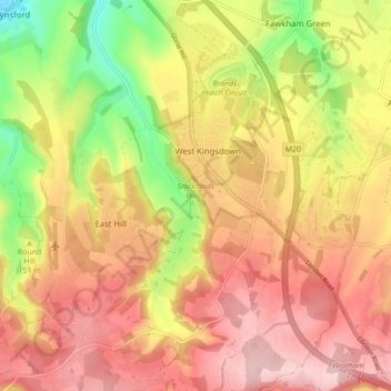
Name: West Kingsdown topographic map, elevation, terrain.
Location: West Kingsdown, Sevenoaks, Kent, England, United Kingdom (51.31534 0.22760 51.36959 0.28843)
Average elevation: 154 m
Minimum elevation: 38 m
Maximum elevation: 235 m
Thank you for supporting this site ❤️
Make a donation
Make a donation