
Thank you for supporting this site ❤️
Make a donation
Make a donation
Gundu topographic map
Click on the map to display elevation.
Thank you for supporting this site ❤️
Make a donation
Make a donation
About this map
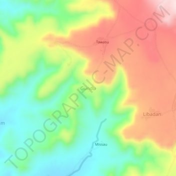
Name: Gundu topographic map, elevation, terrain.
Location: Gundu, Gwangang Chata, Hawul, Borno State, Nigeria (10.37146 12.05208 10.41146 12.09208)
Average elevation: 584 m
Minimum elevation: 433 m
Maximum elevation: 770 m
Thank you for supporting this site ❤️
Make a donation
Make a donation