
杜尔伯特县 topographic map
Interactive map
Click on the map to display elevation.
About this map
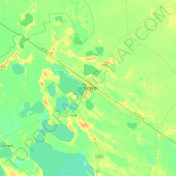
Name: 杜尔伯特县 topographic map, elevation, terrain.
Location: 杜尔伯特县, 泰康镇, 杜尔伯特蒙古族自治县, 大庆市, 黑龙江省, 中国 (46.70047 124.27583 47.02047 124.59583)
Average elevation: 144 m
Minimum elevation: 134 m
Maximum elevation: 161 m
Other topographic maps
Click on a map to view its topography, its elevation and its terrain.
绿色草原牧场第二作业区
中国 > 黑龙江省 > 杜尔伯特蒙古族自治县 > 绿色草原牧场 > 绿色草原牧场第三管理区
绿色草原牧场第二作业区, 绿色草原牧场第三管理区, 绿色草原牧场, 杜尔伯特蒙古族自治县, 大庆市, 黑龙江省, 中国
Average elevation: 148 m