
Thank you for supporting this site ❤️
Make a donation
Make a donation
Gaphar topographic map
Click on the map to display elevation.
Thank you for supporting this site ❤️
Make a donation
Make a donation
About this map
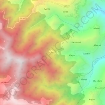
Name: Gaphar topographic map, elevation, terrain.
Location: Gaphar, Dhanaulti, Tehri Garhwal, Uttarakhand, India (30.48859 78.28628 30.52859 78.32628)
Average elevation: 1,765 m
Minimum elevation: 1,083 m
Maximum elevation: 2,364 m
Thank you for supporting this site ❤️
Make a donation
Make a donation