
Thank you for supporting this site ❤️
Make a donation
Make a donation
Calvin Township topographic map
Click on the map to display elevation.
Thank you for supporting this site ❤️
Make a donation
Make a donation
About this map
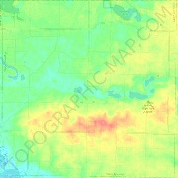
Name: Calvin Township topographic map, elevation, terrain.
Location: Calvin Township, Cass County, Michigan, United States (41.80944 -85.99120 41.89715 -85.87536)
Average elevation: 268 m
Minimum elevation: 238 m
Maximum elevation: 309 m
Thank you for supporting this site ❤️
Make a donation
Make a donation
Other topographic maps
Click on a map to view its topography, its elevation and its terrain.
Thank you for supporting this site ❤️
Make a donation
Make a donation
Thank you for supporting this site ❤️
Make a donation
Make a donation