
Thank you for supporting this site ❤️
Make a donation
Make a donation
Kuttichal topographic map
Click on the map to display elevation.
Thank you for supporting this site ❤️
Make a donation
Make a donation
About this map
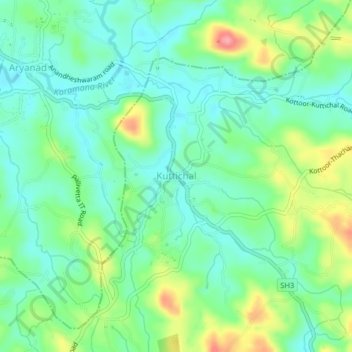
Name: Kuttichal topographic map, elevation, terrain.
Location: Kuttichal, Kattakkada, Thiruvananthapuram, Kerala, 695574, India (8.54721 77.08149 8.58721 77.12149)
Average elevation: 83 m
Minimum elevation: 52 m
Maximum elevation: 150 m
Thank you for supporting this site ❤️
Make a donation
Make a donation
Other topographic maps
Click on a map to view its topography, its elevation and its terrain.