
北红 topographic map
Interactive map
Click on the map to display elevation.
About this map
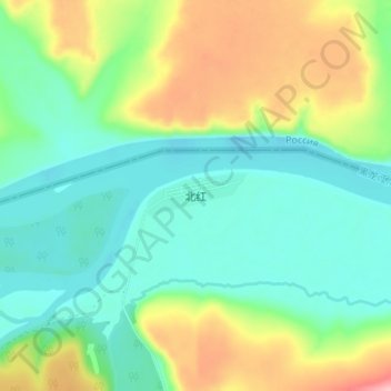
Name: 北红 topographic map, elevation, terrain.
Location: 北红, 北极镇, 漠河市, 大兴安岭地区, 黑龙江省, 中国 (53.48212 123.04579 53.52212 123.08579)
Average elevation: 313 m
Minimum elevation: 268 m
Maximum elevation: 408 m