
Make a donation
Allier topographic map
Click on the map to display elevation.
Make a donation
Allier
There are two periods of maximum precipitation in June and October and a minimum in January and February with average of 694 millimetres in Montluçon (altitude 207 metres), 763 mm in Moulins (245 m) 778 mm in Vichy (251 m) 791 mm in Lapalisse (285 m). and nearly 1,200 mm in Assisi (1,050 m). As noted Atlantic winds are dominant from the west, northwest, or southwest. The influence of topography, especially in the valleys of Cher and Allier, also contributes to the south and north variance.
Make a donation
About this map
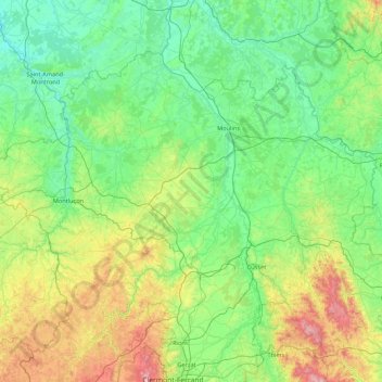
Name: Allier topographic map, elevation, terrain.
Location: Allier, Auvergne-Rhône-Alpes, Metropolitan France, France (45.93071 2.27684 46.80415 4.00558)
Average elevation: 373 m
Minimum elevation: 133 m
Maximum elevation: 1,437 m
Make a donation