
See topographic map
Click on the map to display elevation.
About this map
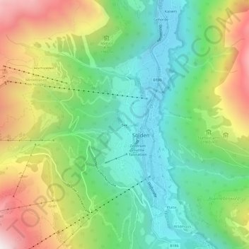
Name: See topographic map, elevation, terrain.
Location: See, Sölden, Bezirk Imst, Tyrol, 6450, Austria (46.94828 10.98347 46.98828 11.02347)
Average elevation: 1,830 m
Minimum elevation: 1,327 m
Maximum elevation: 2,693 m