
Thank you for supporting this site ❤️
Make a donation
Make a donation
Izbucul Ponor topographic map
Click on the map to display elevation.
Thank you for supporting this site ❤️
Make a donation
Make a donation
About this map
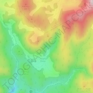
Name: Izbucul Ponor topographic map, elevation, terrain.
Location: Izbucul Ponor, DJ763, Padiș, Budureasa, Bihor, Romania (46.57666 22.71682 46.57676 22.71692)
Average elevation: 1,190 m
Minimum elevation: 981 m
Maximum elevation: 1,442 m
Thank you for supporting this site ❤️
Make a donation
Make a donation