
Thank you for supporting this site ❤️
Make a donation
Make a donation
Ranna topographic map
Click on the map to display elevation.
Thank you for supporting this site ❤️
Make a donation
Make a donation
About this map
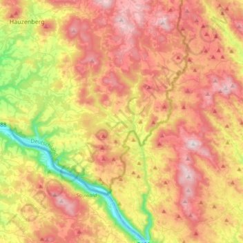
Name: Ranna topographic map, elevation, terrain.
Location: Ranna, Landkreis Passau, Bavaria, Germany (48.47371 13.70534 48.67274 13.78131)
Average elevation: 616 m
Minimum elevation: 276 m
Maximum elevation: 931 m
Thank you for supporting this site ❤️
Make a donation
Make a donation