
Thank you for supporting this site ❤️
Make a donation
Make a donation
Palm Valley topographic map
Click on the map to display elevation.
Thank you for supporting this site ❤️
Make a donation
Make a donation
About this map
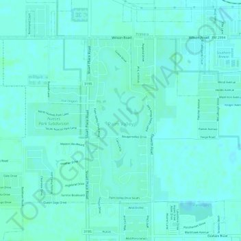
Name: Palm Valley topographic map, elevation, terrain.
Location: Palm Valley, Cameron County, Texas, United States (26.19275 -97.75919 26.21141 -97.74986)
Average elevation: 15 m
Minimum elevation: 12 m
Maximum elevation: 18 m
Thank you for supporting this site ❤️
Make a donation
Make a donation
Other topographic maps
Click on a map to view its topography, its elevation and its terrain.