
Thank you for supporting this site ❤️
Make a donation
Make a donation
Mitooma topographic map
Click on the map to display elevation.
Thank you for supporting this site ❤️
Make a donation
Make a donation
About this map
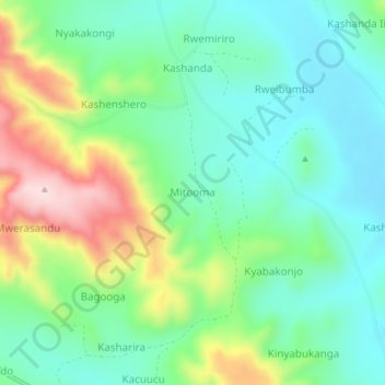
Name: Mitooma topographic map, elevation, terrain.
Location: Mitooma, Ntungamo, Western Region, Uganda (-0.99963 30.38050 -0.95963 30.42050)
Average elevation: 1,443 m
Minimum elevation: 1,338 m
Maximum elevation: 1,673 m
Thank you for supporting this site ❤️
Make a donation
Make a donation