
Thank you for supporting this site ❤️
Make a donation
Make a donation
Chopped Oak topographic map
Click on the map to display elevation.
Thank you for supporting this site ❤️
Make a donation
Make a donation
About this map
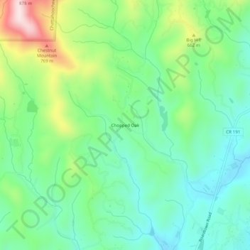
Name: Chopped Oak topographic map, elevation, terrain.
Location: Chopped Oak, Gilmer County, Georgia, United States (34.76425 -84.48132 34.80425 -84.44132)
Average elevation: 560 m
Minimum elevation: 437 m
Maximum elevation: 838 m
Thank you for supporting this site ❤️
Make a donation
Make a donation