
Thank you for supporting this site ❤️
Make a donation
Make a donation
Fort Hunt topographic map
Click on the map to display elevation.
Thank you for supporting this site ❤️
Make a donation
Make a donation
About this map
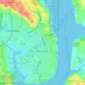
Name: Fort Hunt topographic map, elevation, terrain.
Location: Fort Hunt, Fairfax County, Virginia, United States (38.70980 -77.08219 38.76843 -77.04147)
Average elevation: 15 m
Minimum elevation: -4 m
Maximum elevation: 74 m
Thank you for supporting this site ❤️
Make a donation
Make a donation