
阿拉尔 topographic map
Interactive map
Click on the map to display elevation.
About this map
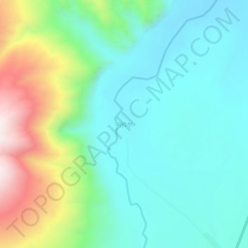
Name: 阿拉尔 topographic map, elevation, terrain.
Location: 阿拉尔, 叶城县, 喀什地区, 新疆维吾尔自治区, 中国 (37.32263 77.10273 37.36263 77.14273)
Average elevation: 2,238 m
Minimum elevation: 2,043 m
Maximum elevation: 2,767 m
Other topographic maps
Click on a map to view its topography, its elevation and its terrain.