
Thank you for supporting this site ❤️
Make a donation
Make a donation
Hillview topographic map
Click on the map to display elevation.
Thank you for supporting this site ❤️
Make a donation
Make a donation
About this map
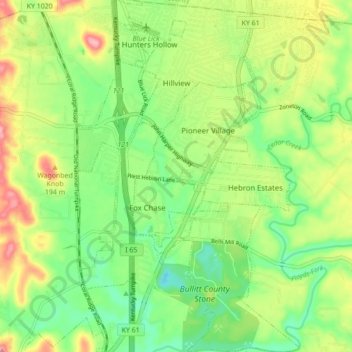
Name: Hillview topographic map, elevation, terrain.
Location: Hillview, Bullitt County, Kentucky, 40129, United States (38.01750 -85.71003 38.08584 -85.65524)
Average elevation: 162 m
Minimum elevation: 113 m
Maximum elevation: 236 m
Thank you for supporting this site ❤️
Make a donation
Make a donation