
Thank you for supporting this site ❤️
Make a donation
Make a donation
Jabal Marrah topographic map
Click on the map to display elevation.
Thank you for supporting this site ❤️
Make a donation
Make a donation
About this map
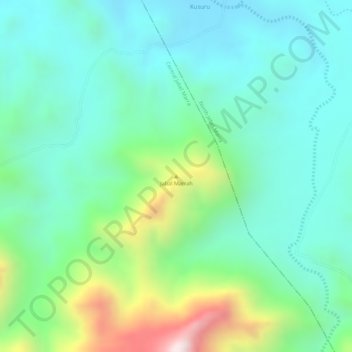
Name: Jabal Marrah topographic map, elevation, terrain.
Location: Jabal Marrah, Zalingei, Central Darfur State, Sudan (13.16662 24.36662 13.16672 24.36672)
Average elevation: 1,703 m
Minimum elevation: 1,542 m
Maximum elevation: 2,113 m
Thank you for supporting this site ❤️
Make a donation
Make a donation