
Thank you for supporting this site ❤️
Make a donation
Make a donation
Panther Falls topographic map
Click on the map to display elevation.
Thank you for supporting this site ❤️
Make a donation
Make a donation
About this map
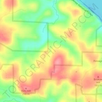
Name: Panther Falls topographic map, elevation, terrain.
Location: Panther Falls, Hardin County, Illinois, United States (37.54707 -88.12163 37.54717 -88.12153)
Average elevation: 152 m
Minimum elevation: 99 m
Maximum elevation: 197 m
Thank you for supporting this site ❤️
Make a donation
Make a donation