
Thank you for supporting this site ❤️
Make a donation
Make a donation
Lechbruck am See topographic map
Click on the map to display elevation.
Thank you for supporting this site ❤️
Make a donation
Make a donation
About this map
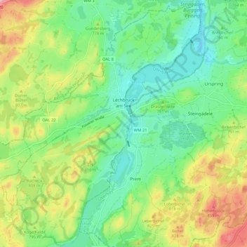
Name: Lechbruck am See topographic map, elevation, terrain.
Location: Lechbruck am See, Landkreis Ostallgäu, Bavaria, 86983, Germany (47.65775 10.74028 47.72787 10.82944)
Average elevation: 772 m
Minimum elevation: 711 m
Maximum elevation: 882 m
Thank you for supporting this site ❤️
Make a donation
Make a donation