
Thank you for supporting this site ❤️
Make a donation
Make a donation
Jánovas topographic map
Click on the map to display elevation.
Thank you for supporting this site ❤️
Make a donation
Make a donation
About this map
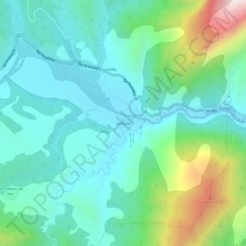
Name: Jánovas topographic map, elevation, terrain.
Location: Jánovas, Fiscal, Sobrarbe, Huesca, Aragón, España (42.44532 -0.02295 42.48532 0.01705)
Average elevation: 866 m
Minimum elevation: 631 m
Maximum elevation: 1,626 m
Thank you for supporting this site ❤️
Make a donation
Make a donation