
Thank you for supporting this site ❤️
Make a donation
Make a donation
Cerro Prieto topographic map
Click on the map to display elevation.
Thank you for supporting this site ❤️
Make a donation
Make a donation
About this map
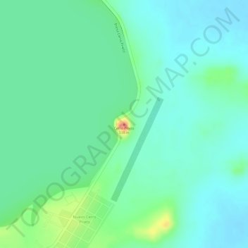
Name: Cerro Prieto topographic map, elevation, terrain.
Location: Cerro Prieto, Linares, Nuevo León, Mexico (24.91595 -99.39110 24.91605 -99.39100)
Average elevation: 277 m
Minimum elevation: 258 m
Maximum elevation: 325 m
Thank you for supporting this site ❤️
Make a donation
Make a donation