
Thank you for supporting this site ❤️
Make a donation
Make a donation
Mount Snowdon topographic map
Click on the map to display elevation.
Thank you for supporting this site ❤️
Make a donation
Make a donation
About this map
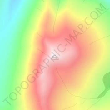
Name: Mount Snowdon topographic map, elevation, terrain.
Location: Mount Snowdon, Stikine Region, British Columbia, Canada (59.71649 -132.49103 59.71659 -132.49093)
Average elevation: 1,694 m
Minimum elevation: 1,210 m
Maximum elevation: 2,120 m
Thank you for supporting this site ❤️
Make a donation
Make a donation