
Thank you for supporting this site ❤️
Make a donation
Make a donation
Landegem topographic map
Click on the map to display elevation.
Thank you for supporting this site ❤️
Make a donation
Make a donation
About this map
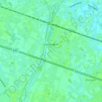
Name: Landegem topographic map, elevation, terrain.
Location: Landegem, Deinze, Gent, East Flanders, Flanders, 9850, Belgium (51.03786 3.54860 51.07121 3.61267)
Average elevation: 8 m
Minimum elevation: 4 m
Maximum elevation: 11 m
Thank you for supporting this site ❤️
Make a donation
Make a donation