
Thank you for supporting this site ❤️
Make a donation
Make a donation
Daisy Lake topographic map
Click on the map to display elevation.
Thank you for supporting this site ❤️
Make a donation
Make a donation
About this map
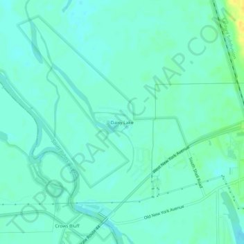
Name: Daisy Lake topographic map, elevation, terrain.
Location: Daisy Lake, Volusia County, Florida, United States (29.00471 -81.39895 29.04471 -81.35895)
Average elevation: 6 m
Minimum elevation: 0 m
Maximum elevation: 23 m
Thank you for supporting this site ❤️
Make a donation
Make a donation
Other topographic maps
Click on a map to view its topography, its elevation and its terrain.
Thank you for supporting this site ❤️
Make a donation
Make a donation
Thank you for supporting this site ❤️
Make a donation
Make a donation