
Thank you for supporting this site ❤️
Make a donation
Make a donation
Blue Eye, MO topographic map
Click on the map to display elevation.
Thank you for supporting this site ❤️
Make a donation
Make a donation
About this map
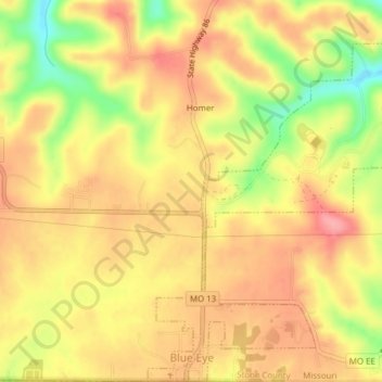
Name: Blue Eye, MO topographic map, elevation, terrain.
Location: Blue Eye, MO, Stone County, Missouri, United States (36.49866 -93.40135 36.52962 -93.36840)
Average elevation: 382 m
Minimum elevation: 319 m
Maximum elevation: 420 m
Thank you for supporting this site ❤️
Make a donation
Make a donation
Other topographic maps
Click on a map to view its topography, its elevation and its terrain.