
Thank you for supporting this site ❤️
Make a donation
Make a donation
Castle Peak topographic map
Click on the map to display elevation.
Thank you for supporting this site ❤️
Make a donation
Make a donation
About this map
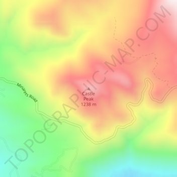
Name: Castle Peak topographic map, elevation, terrain.
Location: Castle Peak, Madera County, California, United States (37.18490 -119.44258 37.18500 -119.44248)
Average elevation: 976 m
Minimum elevation: 608 m
Maximum elevation: 1,311 m
Thank you for supporting this site ❤️
Make a donation
Make a donation