
Thank you for supporting this site ❤️
Make a donation
Make a donation
Jericho topographic map
Click on the map to display elevation.
Thank you for supporting this site ❤️
Make a donation
Make a donation
About this map
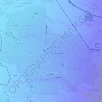
Name: Jericho topographic map, elevation, terrain.
Location: Jericho, Area A, West Bank, Palestinian Territory (31.84639 35.43413 31.88361 35.48281)
Average elevation: -244 m
Minimum elevation: -295 m
Maximum elevation: -141 m
Thank you for supporting this site ❤️
Make a donation
Make a donation