
沿溪镇 topographic map
Interactive map
Click on the map to display elevation.
About this map
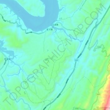
Name: 沿溪镇 topographic map, elevation, terrain.
Location: 沿溪镇, 石柱土家族自治县, 重庆市, 中国 (30.22365 108.09190 30.31313 108.21083)
Average elevation: 293 m
Minimum elevation: 111 m
Maximum elevation: 1,265 m
Other topographic maps
Click on a map to view its topography, its elevation and its terrain.