
Thank you for supporting this site ❤️
Make a donation
Make a donation
Endicott topographic map
Click on the map to display elevation.
Thank you for supporting this site ❤️
Make a donation
Make a donation
About this map
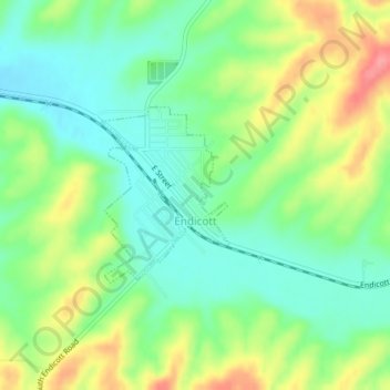
Name: Endicott topographic map, elevation, terrain.
Location: Endicott, Whitman County, Washington, United States (46.92140 -117.69258 46.93359 -117.67955)
Average elevation: 544 m
Minimum elevation: 511 m
Maximum elevation: 598 m
Thank you for supporting this site ❤️
Make a donation
Make a donation
Other topographic maps
Click on a map to view its topography, its elevation and its terrain.
Colfax
United States > Washington > Whitman County > Colfax > Colfax
Colfax is located in southeastern Washington at 46°53′3″N 117°21′49″W / 46.88417°N 117.36361°W / 46.88417; -117.36361 (46.884033, -117.363668), at an elevation of 1,962 feet (598 m). The nearest cities are Spokane, Pullman, Moscow, and Lewiston/Clarkston. The area is geologically…
Average elevation: 689 m
Thank you for supporting this site ❤️
Make a donation
Make a donation