
Thank you for supporting this site ❤️
Make a donation
Make a donation
Bagasbas topographic map
Click on the map to display elevation.
Thank you for supporting this site ❤️
Make a donation
Make a donation
About this map
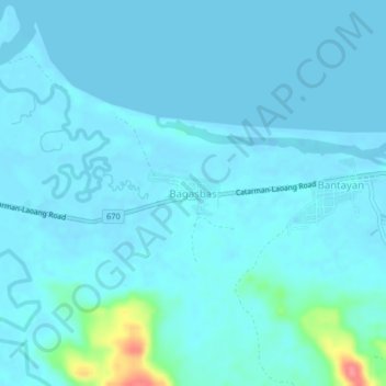
Name: Bagasbas topographic map, elevation, terrain.
Location: Bagasbas, Northern Samar, Eastern Visayas, Philippines (12.50302 124.79798 12.54302 124.83798)
Average elevation: 8 m
Minimum elevation: -3 m
Maximum elevation: 79 m
Thank you for supporting this site ❤️
Make a donation
Make a donation
Other topographic maps
Click on a map to view its topography, its elevation and its terrain.