
Thank you for supporting this site ❤️
Make a donation
Make a donation
Aringa topographic map
Click on the map to display elevation.
Thank you for supporting this site ❤️
Make a donation
Make a donation
About this map
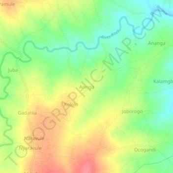
Name: Aringa topographic map, elevation, terrain.
Location: Aringa, Yumbe, Northern Region, Uganda (3.52346 31.24880 3.56346 31.28880)
Average elevation: 908 m
Minimum elevation: 874 m
Maximum elevation: 945 m
Thank you for supporting this site ❤️
Make a donation
Make a donation