
Thank you for supporting this site ❤️
Make a donation
Make a donation
La Atmella topographic map
Click on the map to display elevation.
Thank you for supporting this site ❤️
Make a donation
Make a donation
About this map
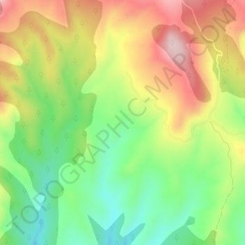
Name: La Atmella topographic map, elevation, terrain.
Location: La Atmella, Graus, La Ribagorza, Huesca, Aragón, España (42.24068 0.45943 42.26068 0.47943)
Average elevation: 763 m
Minimum elevation: 627 m
Maximum elevation: 924 m
Thank you for supporting this site ❤️
Make a donation
Make a donation